elevating your business with precision aerial survey & lidar solutions
Enhance your projects with unparalleled precision, efficiency, and cost savings.
Request Free ConsultationHow Our Services Work
At Rainwater Geospatial, we provide comprehensive drone services, in-house image processing, GIS analysis, and expert consultancy to meet the unique needs of various industries. Our streamlined process ensures high-quality deliverables and a seamless experience from start to finish.
Initial Consultation
Understanding Your Needs: We begin with a thorough consultation to understand your project requirements, objectives, and specific needs.
Customized Solutions: Based on our discussion, we tailor our services to provide the best solutions, whether it's for aerial surveys, 3D modeling, mapping, or GIS analysis.
Planning and Preparation
Site Assessment: We assess the site conditions and determine the optimal flight plan for our drones to capture the necessary data.
Regulatory Compliance: Our team ensures all necessary permits and regulatory requirements are in place before any drone flights.
Data Acquisition
Drone Flights: Our skilled pilots deploy state-of-the-art drones equipped with high-resolution cameras and sensors to capture aerial imagery, LiDAR, or thermal data, depending on the project requirements.
Real-Time Monitoring: During the flight, we monitor data collection in real-time to ensure completeness and accuracy.
In-House Data Processing
Image Processing: Once the data is captured, our in-house team processes the imagery using advanced software to create orthomosaics, 3D models, LiDAR point clouds, digital surface models (DSMs), and digital terrain models (DTMs).
GIS Analysis: Our GIS specialists then analyze the processed data, applying spatial analysis, geostatistics, and other techniques to extract valuable insights and create actionable reports
Review and Feedback
Client Review: We provide you with the processed data and analysis results for review. Our team is available to answer any questions and make adjustments as needed to ensure the final deliverable meets your expectations.
Iterative Refinement: If necessary, we refine the outputs based on your feedback to achieve the desired outcome.
Final Deliverables
Delivery: We deliver the final products in the formats you require, whether it’s 3D models, GIS data, detailed maps, or comprehensive reports.
Support: We offer ongoing support to help you integrate the results into your operations or further interpret the data as needed.
GIS Consultancy
Expert Guidance: Beyond project execution, our consultancy services provide you with expert guidance on integrating geospatial technologies into your business processes.
Training and Education: We also offer training sessions to help your team understand and utilize the geospatial data and tools we provide.
INDUSTRIES WE SERVE
We offer tailored GIS solutions across a diverse range of industries. Our expertise empowers businesses in sectors such as environmental management, urban planning, transportation, utilities, and real estate to leverage geographic data for enhanced decision-making and operational efficiency. Explore the specific ways we support each industry below
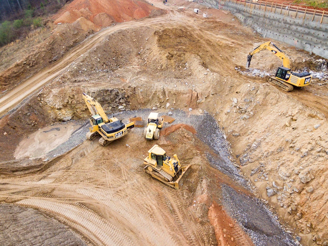
CONSTRUCTION
Harnessing the power of drones and GIS technology revolutionizes the construction industry by offering unprecedented accuracy, efficiency, and safety. Drones capture high-resolution aerial imagery and real-time data, allowing for detailed site analysis, progress tracking, and precise topographic mapping. GIS integrates this data to create comprehensive 3D models, optimize site planning, and facilitate effective project management. This synergy reduces costs, minimizes risks, and enhances decision-making, ensuring that projects are completed on time and within budget. Discover how our expertise in drones and GIS can elevate your construction projects to new heights.
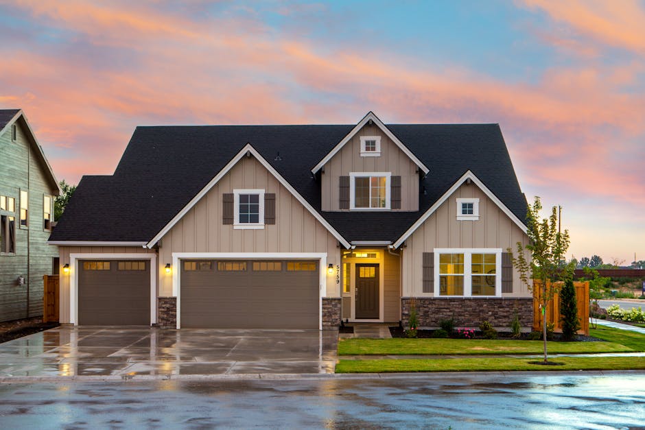
REAL ESTATE
Leveraging drones and GIS technology transforms the real estate industry by providing compelling visuals and valuable insights that elevate property listings and streamline decision-making. Drones capture high-resolution aerial imagery and videos, showcasing properties from unique perspectives that attract buyers and enhance marketing efforts. GIS integrates this data to create detailed property maps, analyze neighborhood dynamics, and assess land features, offering realtors and clients a comprehensive view of the property's potential. This powerful combination enhances listing presentations, accelerates sales cycles, and provides a competitive edge in the market. Discover how our expertise in drones and GIS can revolutionize your real estate listings and client engagement.
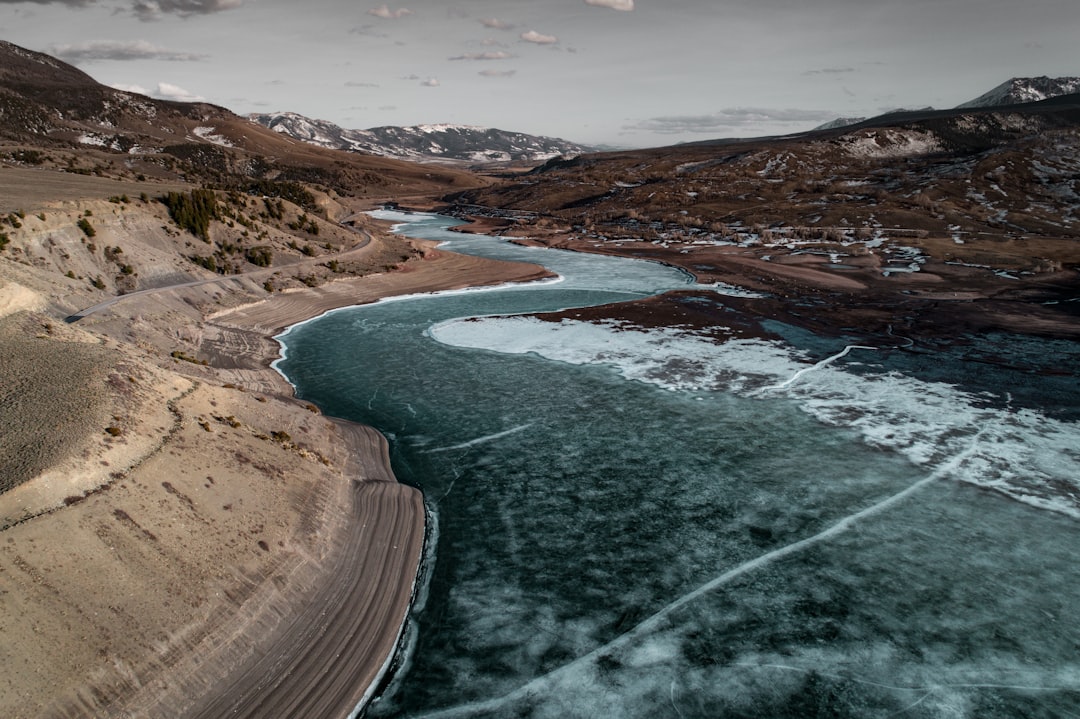
ENVIRONMENTAL MANAGEMENT
Our GIS solutions provide environmental managers with real-time data and insights critical for monitoring ecosystems, tracking wildlife, and managing natural resources. Using drone technology, we capture high-resolution imagery and sensor data, enabling precise analysis of environmental changes and facilitating proactive conservation efforts.

URBAN PLANNING
In urban planning, timely and accurate geographic information is essential. Our drone-assisted GIS services deliver up-to-date aerial imagery and 3D models, helping planners visualize and assess land use, infrastructure development, and urban growth. This technology supports more informed decision-making, improving the efficiency and sustainability of urban projects.
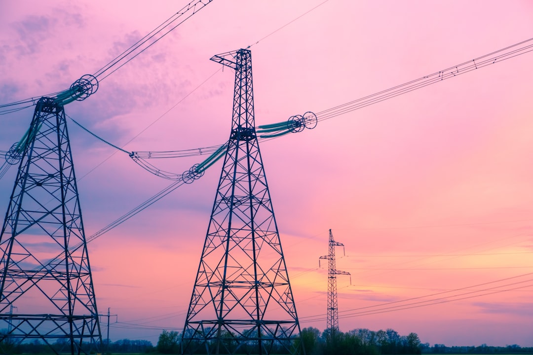
UTILITIES
Utility companies benefit from our drone-based GIS services by gaining real-time visibility into their infrastructure. We conduct aerial inspections of power lines, pipelines, and other critical assets, capturing data that allows for timely maintenance and risk assessment. Our GIS solutions facilitate asset management, outage prediction, and efficient service delivery.
AGRICULTURE
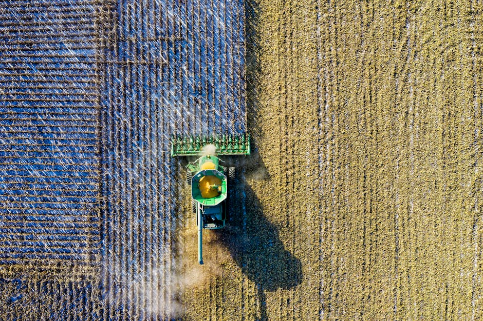
In the agriculture industry, our GIS and drone solutions provide farmers and agronomists with real-time data critical for precision farming. We utilize drones to collect high-resolution imagery and multispectral data, enabling detailed analysis of crop health, soil conditions, and moisture levels. This data is integrated into our GIS software, allowing for precise mapping and monitoring of fields, optimizing irrigation, pest control, and yield prediction. Our services help farmers make data-driven decisions, enhancing productivity, reducing costs, and promoting sustainable agricultural practices.
Harness the Power of Real Time Data Using Drones
Discover how our drone solutions can revolutionize your business operations and drive innovation in your industry.
Contact us
Reach out to Rainwater Geospatial LLC to discuss how our tailored GIS solutions can meet your unique needs. We're here to help you harness the power of advanced geospatial technology for your projects.
Phone
+5016176803