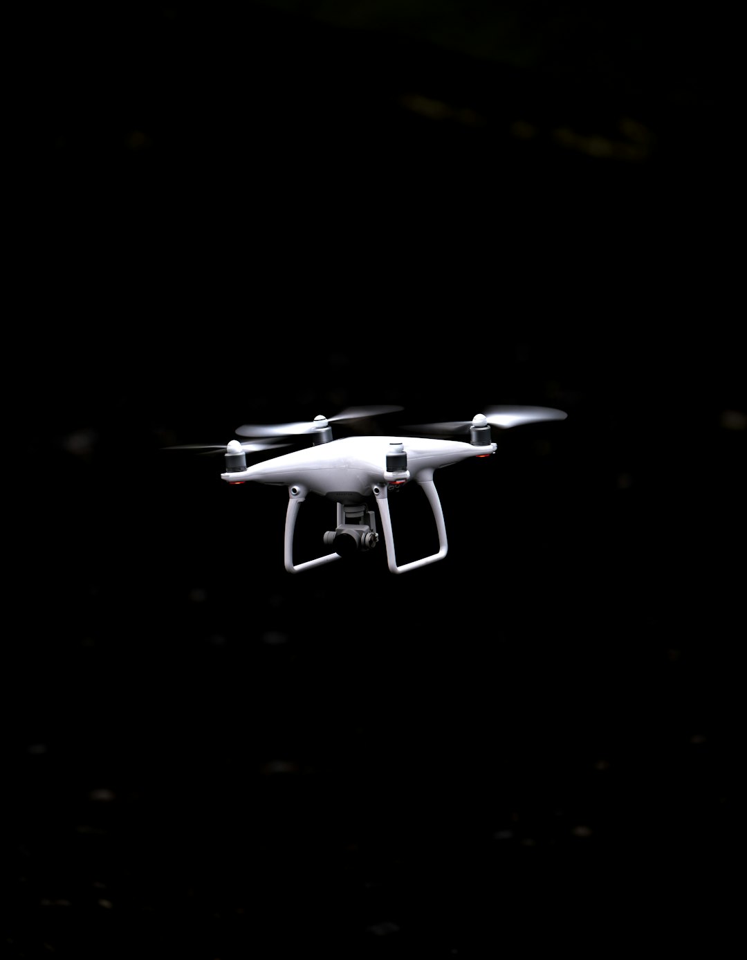
Enhance your projects with unparalleled precision, efficiency, and cost savings.
Request Free ConsultationCombining high-resolution drone imagery with GIS expertise, our services bring unmatched value to the real estate industry. Whether it’s showcasing properties, analyzing land use, or creating detailed 3D models, we empower you to stand out, streamline operations, and achieve your goals.
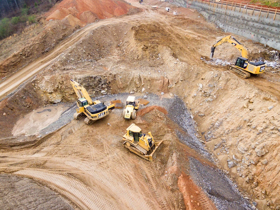
Aerial property visualization leverages high-resolution drone imagery to showcase properties from unique perspectives. This includes stunning overhead views, dynamic fly-through videos, and context-rich images that highlight the surrounding landscape and features. These visuals create compelling marketing materials that stand out in the competitive real estate market.
Using GIS and drone technology, we provide precise land analysis for real estate projects. By capturing detailed topographic data and integrating it with GIS, we identify slope, elevation, and land-use patterns, providing critical insights for site selection and development planning.
3D property modeling transforms drone imagery into accurate, lifelike 3D representations of properties and their surroundings. These models are perfect for virtual tours, design visualization, and planning. Real estate professionals can showcase properties in immersive detail, capturing attention and driving engagement.
Boundary and lot mapping uses aerial imagery and GIS to accurately delineate property boundaries and features. These maps provide real estate professionals with essential data for land transactions, zoning compliance, and development planning.
Answer:
Drones significantly reduce the time and cost associated with traditional land surveys. By capturing high-resolution aerial imagery and creating 3D models, drones provide accurate topographic data without the need for manual ground measurements. Additionally, drones can survey large or hard-to-reach areas with ease, improving safety and ensuring consistent data collection across the entire site.
Answer:
Drone-based cut and fill analyses are highly accurate, especially when combined with GIS tools like ArcGIS Pro. By capturing detailed Digital Elevation Models (DEMs), our drones can calculate precise earthwork volumes to ensure that the project stays on budget and on schedule. The accuracy typically meets or exceeds industry standards for earthwork planning, making it an excellent choice for construction and development projects.
Answer:
It depends on the size and complexity of the project, but we recommend conducting drone surveys at regular intervals—such as weekly or monthly—to capture a comprehensive view of progress. This helps project managers identify potential delays, track milestones, and communicate effectively with stakeholders. Drone surveys can also be timed to key project phases, such as foundation work, structural completion, or finishing touches.
Answer:
Yes, drones are highly effective for environmental impact assessments (EIAs). They capture high-resolution images of natural features like vegetation, water bodies, and wetlands. These images, combined with GIS data, can help identify environmentally sensitive areas, monitor ecological conditions, and ensure compliance with local environmental regulations. This is particularly valuable for large developments where minimizing the environmental impact is crucial.
Answer:
Absolutely. We follow all local, state, and federal regulations, including obtaining the necessary permits for drone flights in regulated airspace. Our team is trained and certified in drone operations, ensuring compliance with FAA regulations (for the U.S.), as well as adhering to any specific requirements for data collection, privacy, and environmental protection.
Answer:
Drones reduce costs in several ways:
Answer:
Yes, our data outputs are fully compatible with most common design and GIS platforms, including AutoCAD, ArcGIS, and Revit. We can provide data in a variety of formats such as DXF, SHP, KML, or GeoTIFF, allowing seamless integration into your existing workflows for planning, design, and project management.
Answer:
The turnaround time depends on the size and complexity of the site. For small to medium sites, data collection can be completed within a few hours, and the processing of aerial imagery and 3D models typically takes 24-48 hours. For larger or more complex projects, we’ll provide a customized timeline based on your specific needs.
Reach out to Rainwater Geospatial LLC to discuss how our tailored GIS solutions can meet your unique needs. We're here to help you harness the power of advanced geospatial technology for your projects.
+5016176803